176099641
Type of resources
Available actions
Provided by
Years
status
Scale
-

The Forest Management Agreement Area dataset is comprised of all the polygons that represent the areas of land which the Province of Alberta agrees upon Forest Management Agreement holders having the rights to establish, grow, harvest and remove timber.
-

The ASRD Management Area dataset is comprised of all the polygons that represent the management areas established for the Department of Alberta Sustainable Resource Development (ASRD) to provide services and management of the province's sustainable resources.
-

The Historical Green/White Area dataset is comprised of all the polygons that represent the historical Green and White areas in Alberta.
-

The Green/White Area dataset is comprised of all the polygons that represent the Green and White areas in the province of Alberta for the Department of Alberta Sustainable Resource Development (ASRD) administrative purpose.
-

The Forest Management Unit dataset is comprised of all the polygons that represent the defined areas of forest land that located within the Green Area to be managed in Alberta.
-

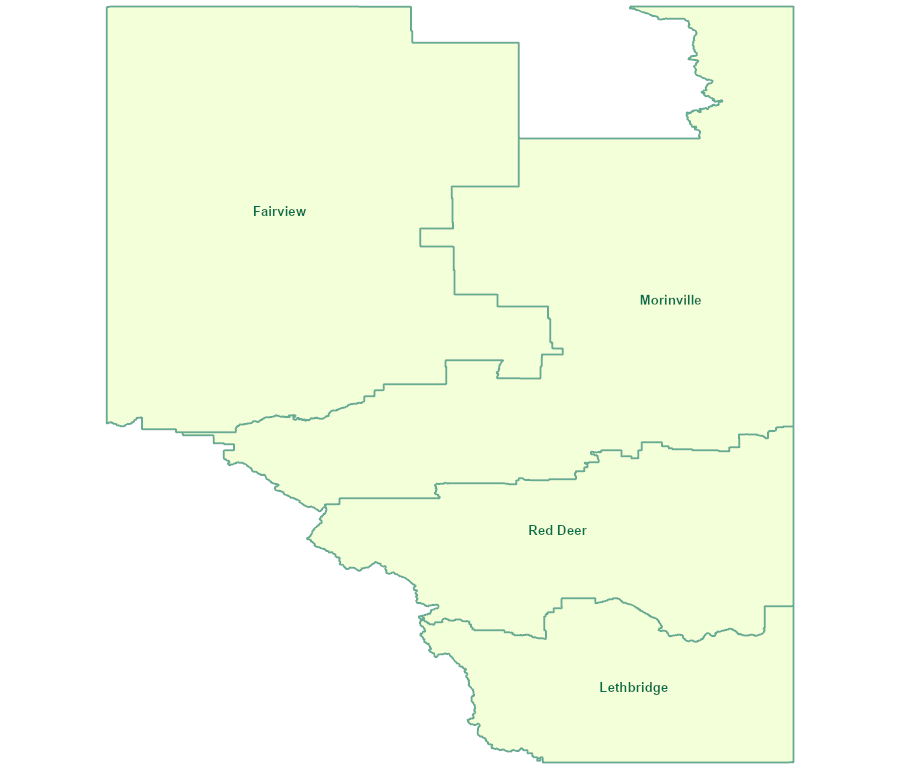
The Natural Resources Conservation Board Service Area dataset is comprised of all the polygons that represent Natural Resources Conservation Board Service Areas in Alberta. The dataset is the administrative boundary for the 4 regional offices of Natural Resources Conservation Board.
-

The Forest Protection Area dataset is comprised of all the polygons that represent the administrative areas established by Forest Protection, Forestry Division of Alberta Sustainable Resource Development concerned with the prevention and control of damage to forests from fire, insects, disease and other harmful agents.
 SAFORAH2 Portal