 SAFORAH2 Portal
Type of resources
Available actions
Topics
Keywords
Contact for the resource
Provided by
Years
Formats
Representation types
Update frequencies
status
Service types
Scale
Resolution
-
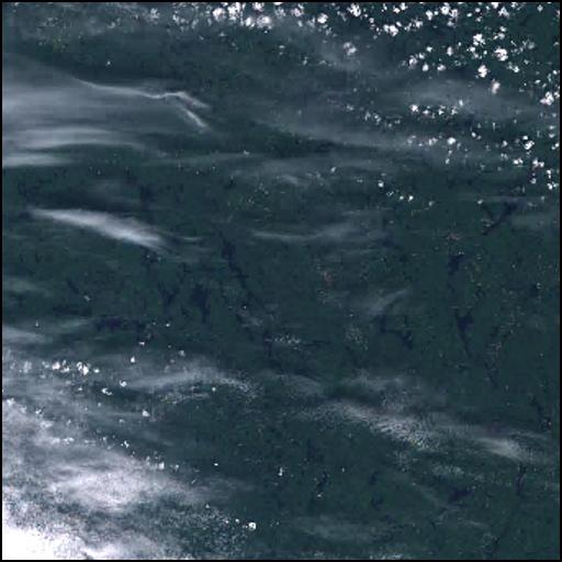
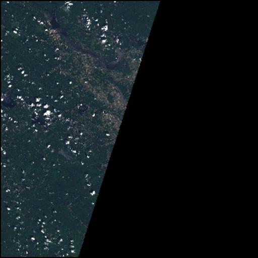
Landsat surface reflectance image, provided by the USGS. The surface reflectance products are generated by converting Level-1 digital numbers to surface reflectance using the Landsat Ecosystem Adaptive System (LEDAPS) and Function of Mask (F mask) Algorithms. Sensor: ETM+ Platform: Landsat7 Acquisition Date: 2005-09-28 Provider: NASA and USGS Cell Size (m): 30 Cloud Cover (%): 14
-
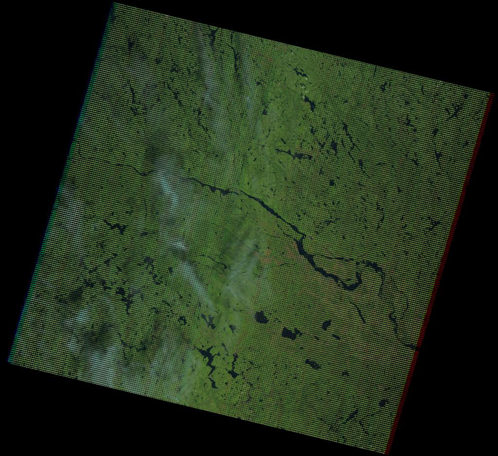
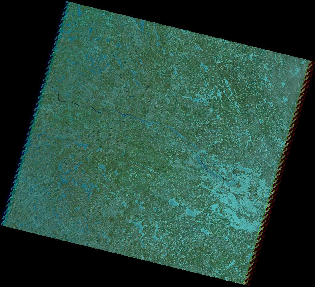
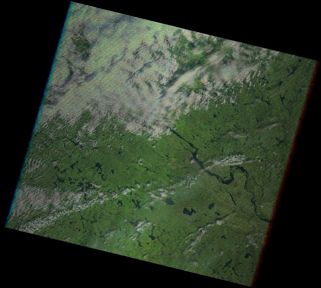
Sentinel-2 surface reflectances images (L2A) in .SAFE format. The surface reflectance products were generated by applying the Sen2Cor algorithm to the Top of Atmosphere (L1C) Sentinel-2 images provided by the European Space Agency. For more information on the Sen2Cor algorithm please visit http://step.esa.int/main/third-party-plugins-2/sen2cor/. Sensor: MSI Platform: Sentinel2B Acquisition Date: 2017-07-23 Provider: European Space Agency Cell Size (m): 20 Cloud Cover (%): 25.5
-
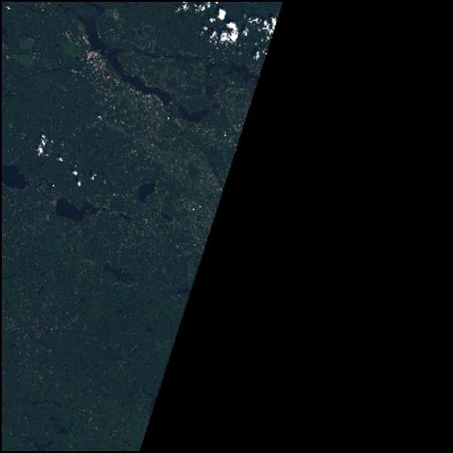
Landsat surface reflectance image, provided by the USGS. The surface reflectance products are generated by converting Level-1 digital numbers to surface reflectance using the Landsat Ecosystem Adaptive System (LEDAPS) and Function of Mask (F mask) Algorithms. Sensor: TM Platform: Landsat5 Acquisition Date: 1992-05-11 Provider: NASA and USGS Cell Size (m): 30 Cloud Cover (%): 0
-
Sentinel-2 surface reflectances images (L2A) in .SAFE format. The surface reflectance products were generated by applying the Sen2Cor algorithm to the Top of Atmosphere (L1C) Sentinel-2 images provided by the European Space Agency. For more information on the Sen2Cor algorithm please visit http://step.esa.int/main/third-party-plugins-2/sen2cor/. Sensor: MSI Platform: Sentinel2B Acquisition Date: 2018-08-10 Provider: European Space Agency Cell Size (m): 20 Cloud Cover (%): 0.1345
-
This dataset is the definitive set of locality boundaries for the state of Victoria as defined by Local Government and registered by the Registrar of Geographic Names. The boundaries are aligned to Vicmap Property. This dataset is part of the Vicmap Admin dataset series.
-
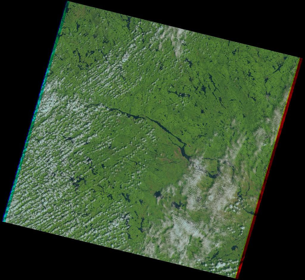
Sentinel-2 surface reflectances images (L2A) in .SAFE format. The surface reflectance products were generated by applying the Sen2Cor algorithm to the Top of Atmosphere (L1C) Sentinel-2 images provided by the European Space Agency. For more information on the Sen2Cor algorithm please visit http://step.esa.int/main/third-party-plugins-2/sen2cor/. Sensor: MSI Platform: Sentinel2B Acquisition Date: 2018-07-11 Provider: European Space Agency Cell Size (m): 20 Cloud Cover (%): 0.2678
-
Landsat surface reflectance image, provided by the USGS. The surface reflectance products are generated by converting Level-1 digital numbers to surface reflectance using the Landsat Ecosystem Adaptive System (LEDAPS) and Function of Mask (F mask) Algorithms. Sensor: TM Platform: Landsat5 Acquisition Date: 2007-04-19 Provider: NASA and USGS Cell Size (m): 30 Cloud Cover (%): 2
-
Landsat surface reflectance image, provided by the USGS. The surface reflectance products are generated by converting Level-1 digital numbers to surface reflectance using the Landsat Ecosystem Adaptive System (LEDAPS) and Function of Mask (F mask) Algorithms. Sensor: ETM+ Platform: Landsat7 Acquisition Date: 2008-09-20 Provider: NASA and USGS Cell Size (m): 30 Cloud Cover (%): 45
-
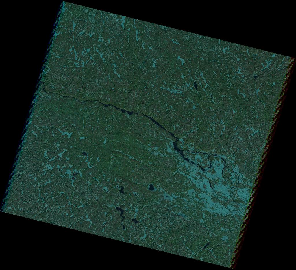
Landsat surface reflectance image, provided by the USGS. The surface reflectance products are generated by converting Level-1 digital numbers to surface reflectance using the Landsat Ecosystem Adaptive System (LEDAPS) and Function of Mask (F mask) Algorithms. Sensor: TM Platform: Landsat5 Acquisition Date: 2003-08-14 Provider: NASA and USGS Cell Size (m): 30 Cloud Cover (%): 5
-
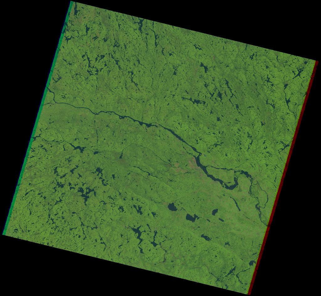
Landsat surface reflectance image, provided by the USGS. The surface reflectance products are generated by converting Level-1 digital numbers to surface reflectance using the Landsat Ecosystem Adaptive System (LEDAPS) and Function of Mask (F mask) Algorithms. Sensor: TM Platform: Landsat5 Acquisition Date: 1995-08-08 Provider: NASA and USGS Cell Size (m): 30 Cloud Cover (%): 12